Hi to all of those who may still be subscribed and waiting on the next Travelling Old Farts adventure on this website. While it's been great, I have decided to close down the WordPress website wwtofs.com, and just keep posting on our Travelling Old Farts Facebook page. Keeping up with more than one lot ofContinue reading "Starting some fresh travels around NSW and closing the website"
Things we learnt on the Winter 2025 trip
We don't like caravan parks as they can feel like sardines, but they are a good option sometimes, when you have a large load of washing to do and don't want to stand around waiting for it at a laundrette. Some better caravan parks in the outback also have other attractions like live music, anContinue reading "Things we learnt on the Winter 2025 trip"
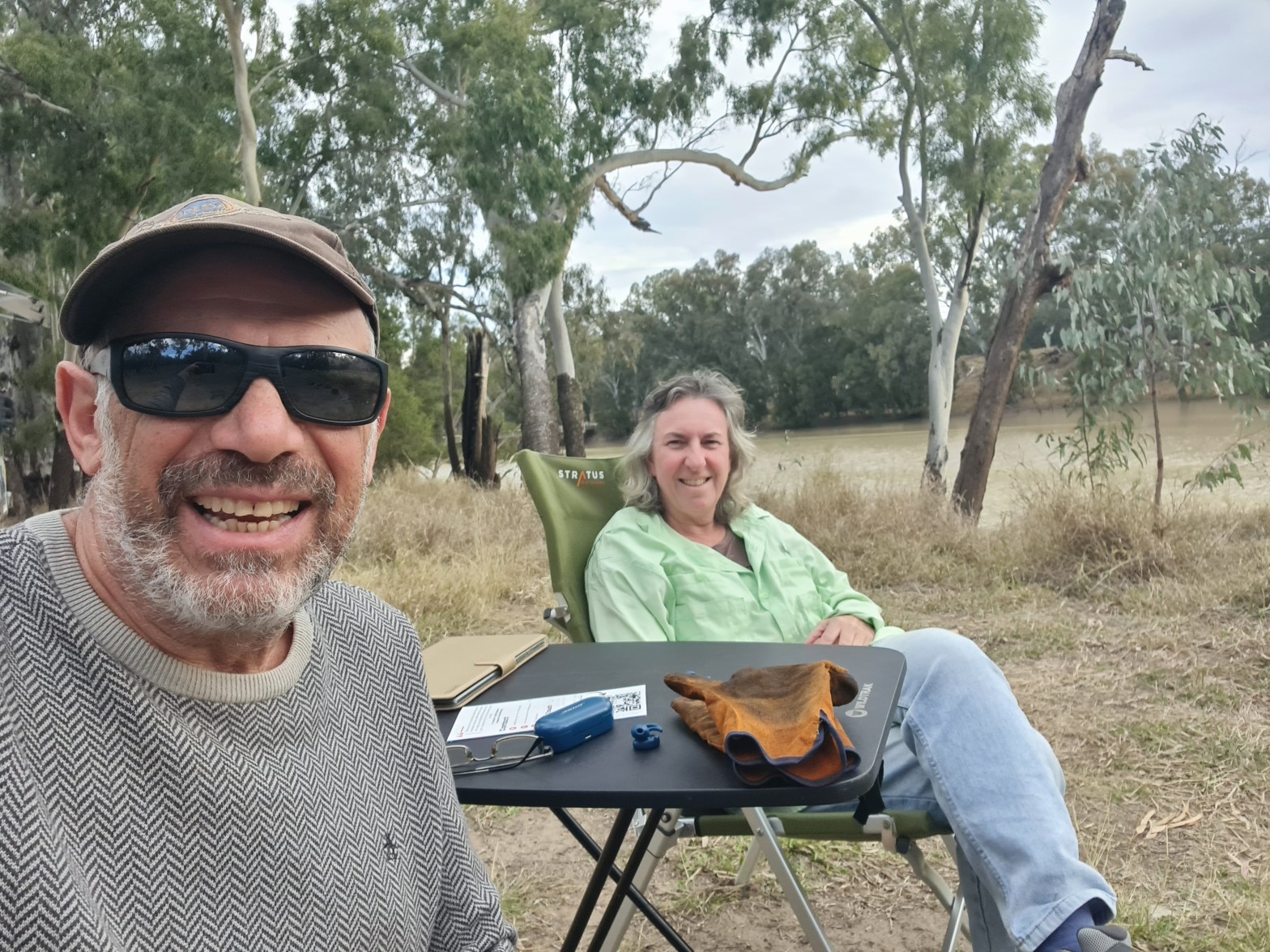
The end of our Winter 2025 trip

Ten weeks away seems to be our new limit. With our son Daniel asking us to help him move to his new property in Melbourne, the need to get home and clean out Lorikeet beforehand, became more urgent. Also, we had felt for a couple of weeks that we were missing home and our daughterContinue reading "The end of our Winter 2025 trip"
Southern rural Queensland towns have many attractions
We have been very impressed by the state of the roads in the south west region of outback Queensland. Not sure whether its only because of the recent floods where more than the usual maintenance has been happening, but the fact that they keep a wide enough verge, flush with the road itself, so thatContinue reading "Southern rural Queensland towns have many attractions"
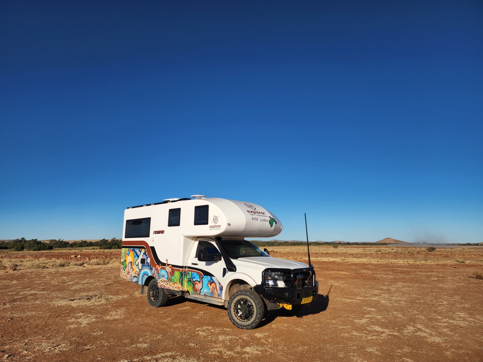
Big Red and a Big Dinosaur

The outback colours have become more intense with the sparsity of the vegetation, although with the rains and floods a few months ago, there is a lot of greenery and wildflowers, and the creeks and waterholes are fuller than normal. The landscape has a beauty that can only be experienced in person, as photos doContinue reading "Big Red and a Big Dinosaur"
Outback Queensland – from Barcaldine to Boulia
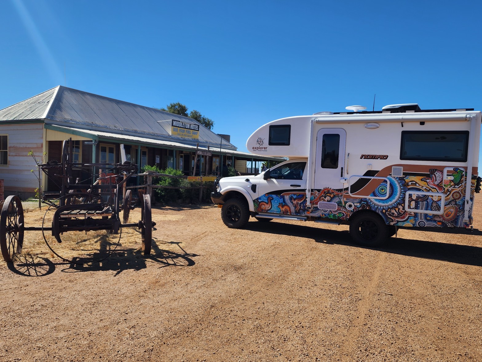
Barcaldine, is pronounced Bark-all-din, as was pointed out to us very early in our quick stop there. I can understand this since I'm always correcting people on how to pronounce Windellama (Win-dell-ama) too. You can excuse newcomers, but not people who have been to a place before, or journalists who annoyingly tell people about "Winde-llama"Continue reading "Outback Queensland – from Barcaldine to Boulia"
Wineries to Wetlands -Moffatdale, Carnarvon, Emerald, Tambo and Lara Station

With the car serviced and the moho heater fixed, we could finally decide which direction we wanted to go. North west away from the coast and the upcoming school holiday crowds obviously! On my endless list of Places To Go, Dusty Hill Vineyard in Moffatdale appeared close by. Of course when we got there midContinue reading "Wineries to Wetlands -Moffatdale, Carnarvon, Emerald, Tambo and Lara Station"
Vehicle servicing, then Maleny and the Sunshine Hinterland

The Ford needed its 3000km service and we had to get the Truma diesel heater fixed at Explorer, so after a few restful days spent at the Goodooga Artesian pool, we backtracked for a quick visit to Lightning Ridge. Having been there before, there's too much temptation with beautiful opals, so we didn't stay, butContinue reading "Vehicle servicing, then Maleny and the Sunshine Hinterland"
Bulga Explorer get together and on to Goodooga artesian baths

There were 9 Explorers in total at Bulga Recreational area on Thursday night, meeting up for a few days roaming around the Hunter Valley in NSW. Next day, we stopped in at the Baiame indigenous rock art cave on a private property in Milbrodale. After an initial wrong turn by our fearless leader Tony, weContinue reading "Bulga Explorer get together and on to Goodooga artesian baths"
A freezing cold start – Sofala to Bulga

We've realised that our diesel heater is playing up as we have it turned to the max 30 degrees and barely manage to get the interior warmed up. Of course, we discover this when a polar blast is running through the east coast. Socks and beanies in bed help to keep us warm at night.Continue reading "A freezing cold start – Sofala to Bulga"
